


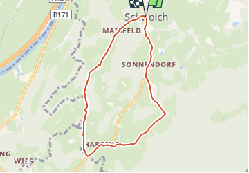

13,1 km | 16,6 km-effort

Tous les sentiers balisés d’Europe GUIDE+


Gratisgps-wandelapplicatie
 SityTrail
IGN / Geografische instituten
SityTrail World
De wereld gaat voor u open
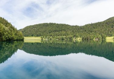
Tocht Te voet van 7,1 km beschikbaar op Tirol, Bezirk Kufstein, Gemeinde Schwoich. Deze tocht wordt voorgesteld door SityTrail - itinéraires balisés pédestres.
Trail created by Kufsteinerland.
Symbol: Gelbe Schilder mit weißem Richtungspfeil und rotem Streifen mit dem Namen "Waldschönauer Runde"


Te voet
Te voet
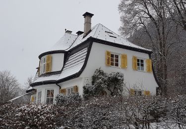
Te voet
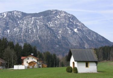
Te voet
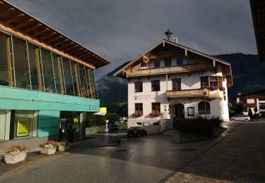
Te voet
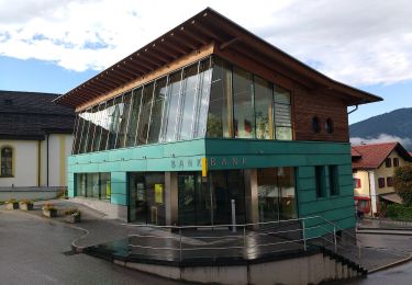
Te voet
Te voet
Te voet
Te voet